Fortæl dine venner om denne vare:
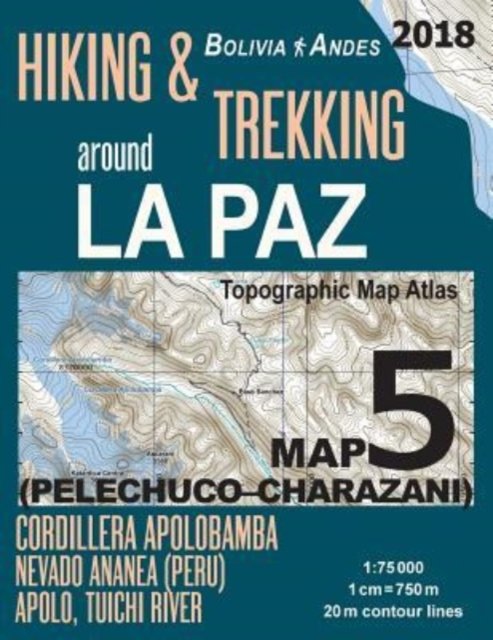
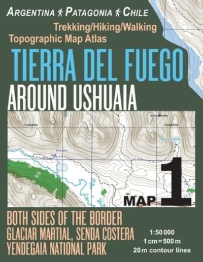
Tierra Del Fuego Around Ushuaia Map 1 Both Sides of the Border Argentina Patagonia Chile Yendegaia National Park Trekking / Hiking / Walking Topographic Map Atlas 1
Sergio Mazitto
Bestilles fra fjernlager

Tierra Del Fuego Around Ushuaia Map 1 Both Sides of the Border Argentina Patagonia Chile Yendegaia National Park Trekking / Hiking / Walking Topographic Map Atlas 1
Sergio Mazitto
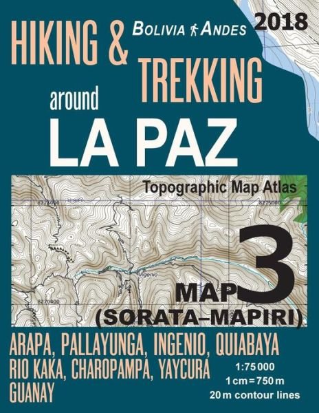
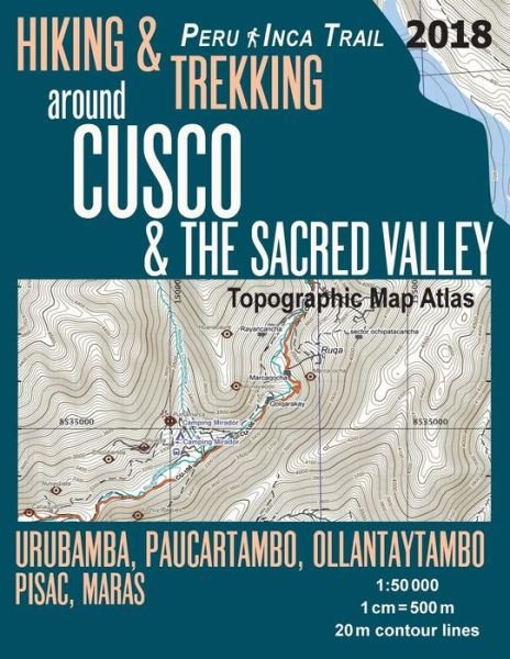
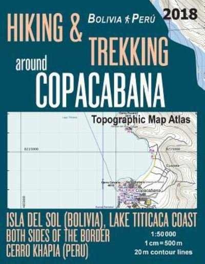
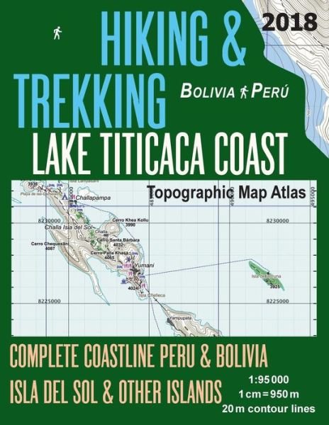
Updated 2018 edition. Complete map of the area around the town of Ushuaia covering wonderful hiking trails in the area including the Yendegaia National Park on the Chile side of the border. Detailed topographic map 1:50.000 & 20 meter contours for hiking and trekking, printed as an atlas book (with overlapping pages).
Day hikes and multi-day hiking routes. The southern part of the Tierra del Fuego National Park, Lago Fagnano, Laguna Esmeralda, Bahia Lapataia, Martial Glacier, Cerro Castor (Castor Mount), etc.
20 meter contour lines, road network, trails & paths, transportation, food, campsites, shelters, guest houses & hotels. Mercator projection with both UTM and WGS84 coordinate grids.
The map scale of 1:50000 (1 cm = 500 meters) provides a wealth of detail while keeping low the weight of the atlas itself. The large page format of 8.5x11in minimizes page count and along with an overlapping map design allows for comfortable navigation.
The details included in the topographic maps of this atlas were specifically selected to be useful for trekkers, hikers and walkers of all interests, and make it easy to plan and enjoy both short excursions and hikes as well as long multi-day adventures along the main marked routes and/or adjacent trails and paths, which are also shown on the maps.
With this ultralight atlas you will always have a detailed, reliable, information-rich, battery-independent, shatter-proof map for your adventure.
| Medie | Bøger Paperback Bog (Bog med blødt omslag og limet ryg) |
| Udgivet | 15. januar 2018 |
| ISBN13 | 9781983832871 |
| Forlag | Createspace Independent Publishing Platf |
| Antal sider | 46 |
| Mål | 216 × 279 × 3 mm · 172 g |
| Sprog | Engelsk |